


DELMARVA- As surface high pressure moves offshore this afternoon, cloud cover continues to gradually increase. Temperatures will continue running below average, with highs in the 60s to around 70.

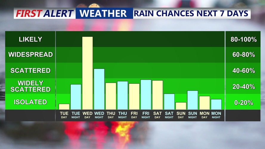
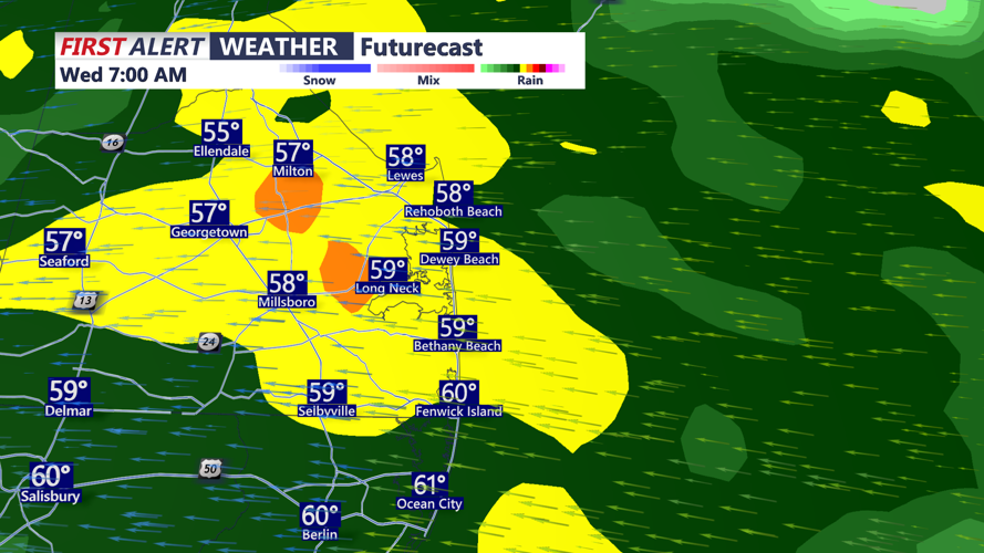
By Tuesday night, moisture begins to push into the region from the southwest as onshore flow strengthens. Skies will become overcast with rain developing after midnight. The rain becomes more widespread late tonight into Wednesday morning. Temperatures by morning will be in the 60s. Leave extra time to get to your destination in the morning with wet roads expected.

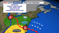
A steady rain is expected all of Wednesday, with the rain heavy at times. A few rumbles of thunder are possible. Flooding in poor drainage areas is possible. Rainfall totals on Wednesday could range from one-half to three-quarters of an inch across Delmarva by the evening hours, with lower amounts toward the northeast. A few thunderstorms are possible later in the day, adding to the potential for brief heavier downpours. Highs on Wednesday will be held down by the cloud cover and rain, with most areas only reaching the 60s.

The steady rain becomes more showery into Wednesday night will lows in the 60s.
The unsettled pattern continues through the second half of the week as an upper-level trough and low pressure system over the Great Lakes move east. The best chance for additional rain and thunderstorms will be Wednesday night, followed by scattered showers Thursday and Friday. Temperatures will be in the 70s, with lows in the 50s and 60s.

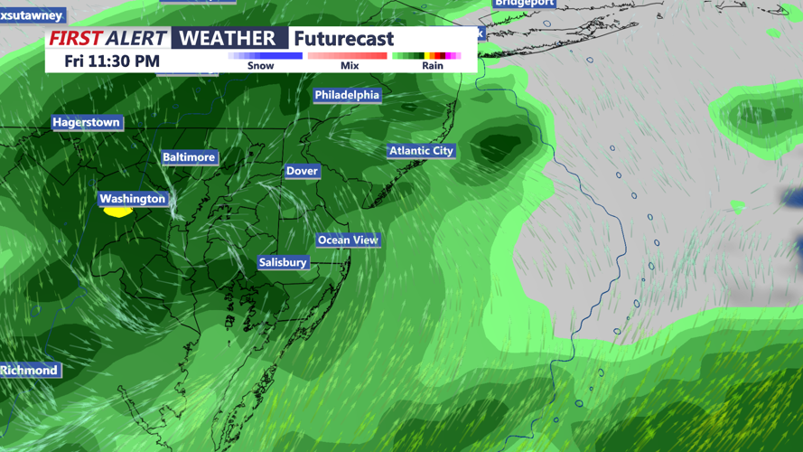
It appears the rain will linger into Saturday with highs in the 70s. The rain winds down Saturday night will lows in the 50s. Sunday looks drier with near seasonable temperatures in the 70s.